Sessions & Perspectives
Each session paired a keynote with a practical. Below is what each track actually covered and what I took away from it.
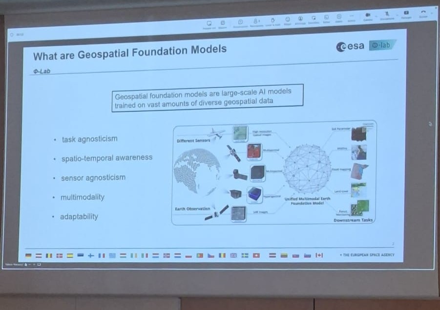
Foundation Models lecture at Université Bretagne Sud, Vannes
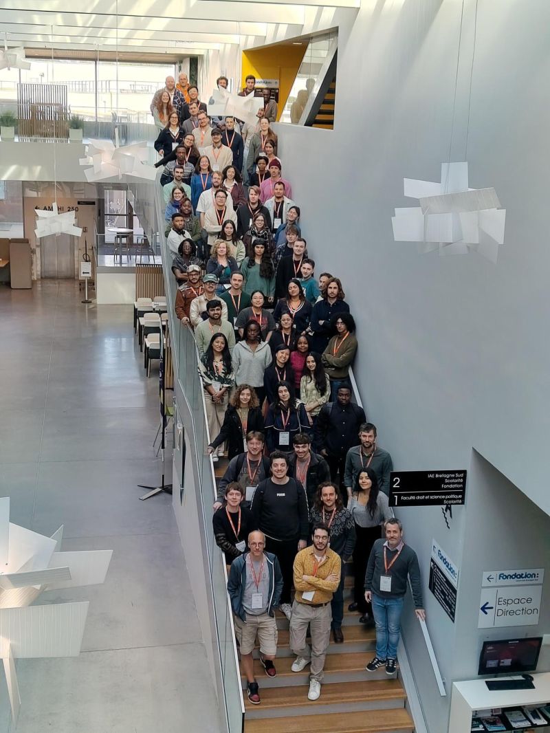
Programme Participants: Students and Researchers
3D Point Cloud Analysis & Change Detection
Speaker: Iris de Gélis
She Covered deep learning for 3D point clouds from LiDAR and photogrammetric sources, specifically, detecting change between two temporal point clouds without requiring voxelisation. De Gélis's award winning work uses Siamese style networks that operate directly on raw point sets, preserving fine geometric detail that raster representations lose. The lecture demonstrated change detection on urban LiDAR scans: identifying various changes at very high resolution. This was the session that most clearly showed where remote sensing is heading.
Foundation Models for Earth Observation
Speakers: Stéphane May & Pierre Adorni
Covered the architecture and pre-training strategies behind geospatial foundation models: how models trained on large remote sensing corpora (Sentinel-2, SAR) can be fine tuned for downstream tasks with minimal labelled data. The practical session had us adapting a pre-trained encoder for land cover classification using a small labelled subset, which made the transfer learning gap very concrete. Pierre Adorni's work on cross domain generalisation showed how fragile these models can be when spectral band distributions shift between sensors, a problem I hadn't properly considered before.
Responsible AI in Remote Sensing
Speakers: Stéphane May & Pierre Adorni
The opening lecture by Pedram Ghamisi was on the environmental sustainability of training and deploying deep learning models.
The session brought a much-needed ethical perspective to geospatial data, diving deep into bias mitigation, AI security, geo privacy, and the societal implications of AI driven satellite insights.
I was incredibly impressed by the depth of research presented by Pedram Ghamisi.
MLOps with TorchGeo
Speaker: Adam J. Stewart
TorchGeo, created by Adam J. Stewart, now a postdoctoral researcher at TU Munich,
is a PyTorch library built for geospatial data, handling CRS mismatches, multi-spectral bands beyond RGB, tiled raster
sampling, and joining satellite layers with differing resolutions are all handled out of the box.
The session taught me how to extend existing tools responsibly, follow community standards,
and build on others' work rather than starting from scratch. He also showed us the importance of
building reproducible pipelines,
containerised environments, and code versioning, the kind of rigour
that separates research code from production ready work. The bigger takeaway was
about open-source contribution. TorchGeo itself started as an extension of existing tools, grew
through community contribution, and earned a Best Paper Runner Up at ACM SIGSPATIAL.
Adam's point was simple: find a gap, build in the open, and let others shape it with you
Generative Models for Data-Scarce EO
Speaker: Nicolas Audebert
One of the key takeaways for me was how generative AI is helping address a persistent challenge in EO: the lack of labelled training data, especially for rare events such as floods, wildfires, and infrastructure damage. The session explored conditional GANs, diffusion models, and Conditional Flow Matching (CFM) for synthetic image generation, including cloud removal treated as a generation task rather than simple inpainting. What stood out to me was the emphasis on validation. While synthetic data can expand training datasets, it is only useful if it preserves spectral integrity and improves performance on real-world data rather than introducing artifacts that make models appear better than they actually are. This reinforced the importance of critically evaluating generated EO data, not just the quality of the images themselves.
Collaboration
Community shapes research
Being in the room with more than 40 people working on these problems. That is other students, PhD researchers, postdocs, professionals felt like joining something bigger. These connections will shape my future work in ways I'm only beginning to understand.