Internship 2026

1 April - 27 August 2026
Salzburg, Austria
EO Analytics Research Group
Django Rest APIs Sen2cube Spatial Analysis Role Based Access Control

EO Analytics

As a geospatial software developer and aspiring geo-data scientist and Earth observation researcher, currently pursuing the Copernicus Master in Digital Earth program, I completed my internship at EO Analytics in Salzburg, Austria, which was from April 1st 2026 to August 27th 2026. The internship gave me the opportunity to combine two areas central to my academic and professional interests: Software Development and Earth Observation. My work ranged from backend system architecture and authorization to satellite based environmental analysis, giving me the opportunity to apply both my software engineering and Earth Observation background in a professional research environment.
Reflection
The internship changed how I approach geospatial technology. I learned to look beyond individual tasks and understand how software components, Earth Observation methods, and project objectives fit together. Working across two project also strengthened my interest in combining geospatial data, Earth Observation and software development

Sen2Cube.at: Backend Architecture & Authorization

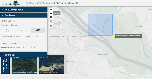
My main software development task was contributing to the backend of Sen2Cube.at, an Earth Observation data cube platform. I focused on designing and implementing authorization and access control across users, groups, projects and resources. This involved developing Role-Based Access Control (RBAC), project and group membership logic, and resource-level permissions.

I worked primarily with Django and Django REST Framework, PostgreSQL/PostGIS, Keycloak and Docker. A significant part of the work involved understanding the existing architecture, evaluating different approaches and testing how authentication and authorization interacted across the system.

Key Learning
Working on an existing backend taught me that implementing functionality is only part of software development. Understanding the architecture, anticipating edge cases and considering how a change affects other components were equally important.

Sand Dams: Earth Observation Research

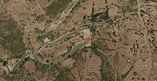
The second project focused on the satellite based monitoring of sand dams in Makueni County, Kenya. I investigated the spatiotemporal impacts of sand-dam infrastructure on its surrounding environment using Earth Observation data.

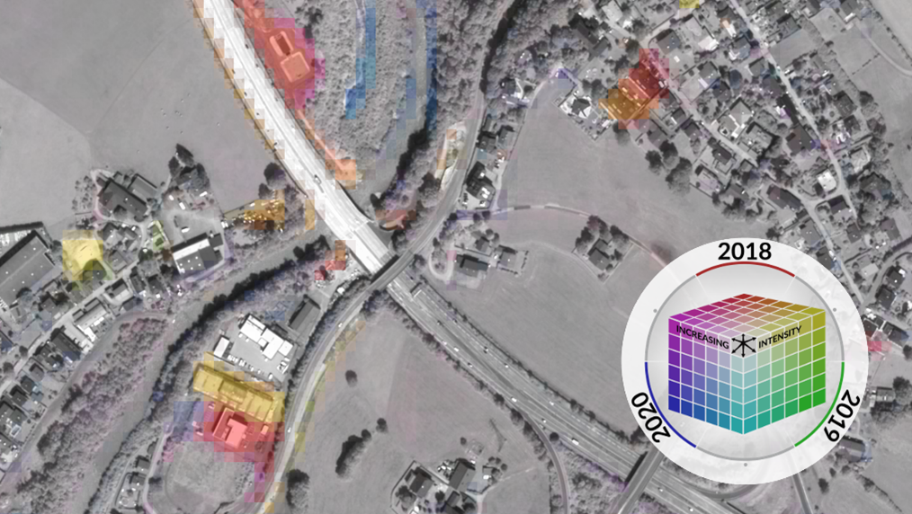
I integrated existing Earth Observation workflows developed within the team into my analysis pipeline and gained practical experience working with multidimensional Earth Observation data cubes, Color33 and SIAM. This project allowed me to connect remote sensing concepts from my academic background with a practical environmental monitoring problem.

Research Focus
The project provided practical experience in using Earth Observation to investigate environmental change around sand dam infrastructure. The work also contributes to the empirical foundation of my Master's thesis on AI driven sand dam detection.